There are many reasons for the differences between land grids. Some land grids do not come with everything included, while others have limited attributes. Furthermore, others have serious accuracy issues. Understanding these differences helps managing your assets within your AOI’s much easier. Section Township Range doesn’t really mean Section Township Range.
The truth is that most vendors do not provide the full land grid picture as part of their basic package. Layers like lots, quarters, and quarter quarters are considered premium offerings. Without these layers it makes mapping your assets much harder, especially when those assets refer to footage calls and legal descriptions.
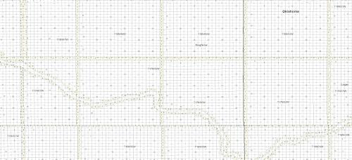
The full land picture analogy also applies to attributes. Without detailed and unique attributes, such as Section ID, Legal Description, it can be hard to auto map your assets. The same applies to the data model used by the vendor. Without an organized and consistent data model it can be hard to auto map your assets.
In the PLSS states (OK, CO, etc.) most, if not all, vendors use the same source, the USGS 1:24k topo maps. This makes it easy to compare accuracy and completeness when looking at land grid in these states. The only caveat is that the source (USGS 1:24k topo) is king, not necessarily the changes on the ground. An example would be as rivers move; the source may not have changed.
Now, Texas is a completely different kettle of fish. Most vendors use the Railroad Commission as the trusted source, especially for contested areas. However, the Tobin land grid does seem to match subsurface leases more closely, imagery more closely, and negates overlaps for a cleaner looking land grid. The reality is that Texas is a moving piece of art with many pieces to the puzzle. There are two sources. One is based off the days of metes and bounds from landmarks that can be very obscure. The other is footage calls from landmarks and survey markers. This results in real contested areas and overlaps.

Land grid can, and should be, a complex beast. That being said, understanding your sources and being able to check those sources is vital in winning that battle. Things like knowing that section township range grid also means lots, quarters and quarter quarters, will complete that picture. While having a solid and complete data model within the land grid will help you master your assets in your AOI’s much more easily. Land grid is a beast, but it can do magical things for you and your organization if it can give you that complete picture.